Drone
The drone imaging service offers unique perspectives, some key features and benefits include:
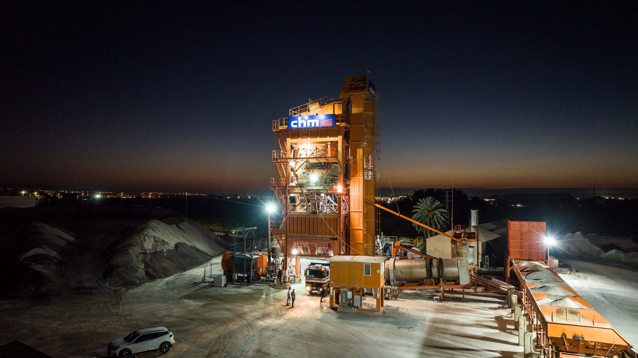
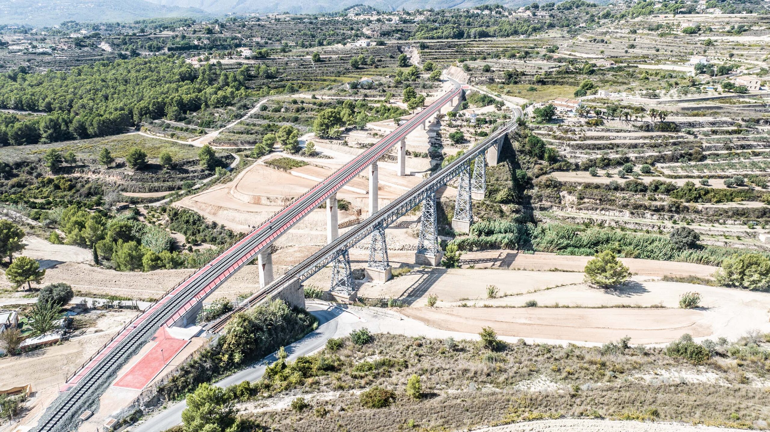
Aerial Perspective: Captures images from high heights, offering a unique panoramic view of landscapes, buildings, works and infrastructure.
Professional Video Recording: Enables the recording of cinematic high-definition videos
Technical Inspections: Facilitates the inspection of structures, facilities and terrain that are difficult to access, such as power towers, power lines, roofs, and industrial areas.
Mapping and Surveying: Used to create detailed maps and three-dimensional terrain models, ideal for urban planning, agriculture, and natural resource management.
Real Estate: Provides attractive images and aerial perspectives of properties for sale, highlighting unique features and enhancing visual presentation.
Tourism: Provides attractive visual material for tourism promotion, showing destinations from a unique and captivating perspective.
These drone image capture services are versatile, providing great value to the industry.


